West Indies (archipelago)
Found in 1045 Collections and/or Records:
Sylvania, 1915, 1915
85 x 85 mm. A view showing estate houses and the plantation at Sylvania.
Sylvania, 1915, 1915
85 x 85 mm. A view showing estate houses and the plantation at Sylvania.
Sylvania, 1915, 1915
85 x 85 mm. A view showing estate houses and the plantation at Sylvania.
[Sylvania, Dominica], 1899 - 1906
89 x 87 mm.
Tapion Point, 1972-05
Tennis Court, Government House, Grenada, 1890 - 1893
318 x 220 mm. An evocative period photograph looking down onto the shaded tennis court of Government House, where a game is in progress. The small group in the foreground is probably the Governor, Sir Walter Hely Hutchinson and his wife and two children.
[The Acting Governor speaking], 1922-11-11
105 x 160 mm. Showing Colonel Herbert Bryan, who performed the ceremony in the absence of the Governor Sir Leslie Probyn, standing beside the cross. (Sir) Herbert Bryan (1865-1950) had a distinguished career as a soldier, and was Colonial Secretary of the Gold Coast 1904-1914, and of Jamaica 1914-1925, though he was absent from the post when on active service in World War I (dispatches five times, D.S.O.), K.B.E. 1925.
The Banyan Tree, 1879 - 1910
210 x 168 mm. A view showing a banyan tree in Nassau.
The Bell Jetty, 1912-07
[The Boiling Lake, Dominica, Jan 1900], 1900-01
81 x 84 mm. A view looking down on to the Boiling Lake in the crater of a semi-extinct volcano containing a geyser which periodically empties and fills. A visit by Bell to the Boiling Lake is described in 'Glimpses of a governor's life' (Bell 1946, pp 10-12).
The Boiling Lake. Jan 1900. Beginning to fill 11.30, 1900-01
84 x 84 mm. As captioned.
The Boiling Lake. Jan 1900. Boiling 12.15, 1900-01
86 x 84 mm. Showing steam rising from the surface of the lake.
The Boiling Lake. Jan 1900. Empty 11am, 1900-01
84 x 82 mm. A view looking down on the lake bed.
The Boiling Lake. Jan 1900. Simmering 11.45, 1900-01
84 x 84 mm. A close up view of the lake, with two figures standing at its edge and steam rising in the foreground.
The British West Indies: their situation, and their physical condition, 1908 - 1915
Probably the draft of an historical article or chapter in Davis's projected book.
The Brothers Est., Grenada, 1890 - 1893
286 x 224 mm. A view showing the working premises on the Brothers Estate, set among lush vegetation in the hills of St John's parish, north of St George's. This estate, owned by the donor of the album (refer to originator details), was of about 590 acres and seems to have yielded a far richer output of cocoa, spices, coffee, nuts and sugar than many of the larger estates. See production figures for 1894 in Drayton (1896), pp 11-12.
The Camp, Newcastle, Jamaica, 1897
229 x 291 mm (overall), 140 x 203 mm (image). Halftone print. Studio name printed as part of image, print inscribed by hand in ink, au recto, below image. Photograph is taken from an elevated location and shows a densely populated area, believed to be 'The Camp' indicated in the caption, among distant mountaintops. There are negligible details present in the sky. For another photograph of the same scene see Y307J/5.
The Camp, Newcastle, Jamaica, 1897
229 x 291 mm (overall), 140 x 203 mm (image). Halftone print. Studio name printed as part of image, print inscribed by hand in ink, au recto, below image. Photograph is taken from an elevated location and shows a densely populated area, believed to be 'The Camp' indicated in the caption, among distant mountaintops. See Y307J/4 for another image of the same scene.. This print exhibits higher contrast, and has clouds which have been added in to create a more complete scene.
The Careenage or Inland Harbour, Grenada, 1890 - 1893
329 x 240 mm. A view from the east, looking across the inland harbour towards the town, with the open sea visible in the distance. St George's Fort stands on the hill at the left of the picture overlooking the entrance to the Carenage. With cultivated land and a few houses in the foreground.
The Caribbean, 1977
A World History Outlines education pack produced by the Inner London Education Authority.
'The Caribbean in international politics, 1670-1707': PhD thesis
A Ph.D. thesis for the University of London, 554 pages, with a map.

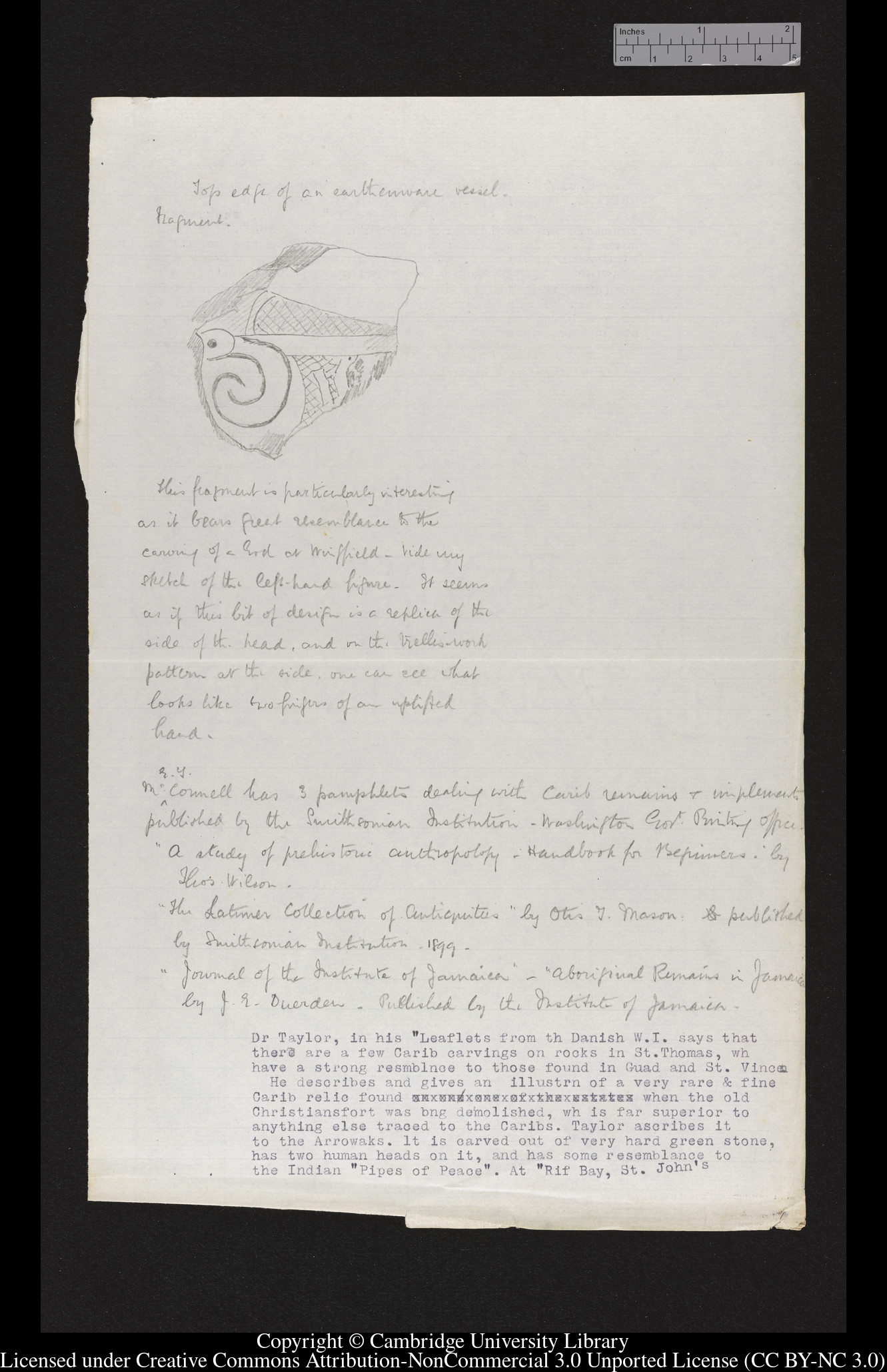
The Caribs, 1901 - 1931
The Cathedral, 1912
278 x 200 mm. A view from the road looking up towards the twin-towered west façade of the Cathedral of St. John's, Antigua. The building replaces the earlier church which was destroyed by an earthquake in 1843. The corner stone of the later building was laid in 1845 and the cathedral opened for worship in 1847 although not completed until the following year.
The Cathedral, St. John's, Antigua, 1897
229 x 291 mm (overall), 102 x 130 mm (image). Halftone print. Studio name printed as part of image, print inscribed by hand in ink, au recto, below image. Photograph was taken from a slightly lower vantage point and shows St. John's Cathedral from overlooking other buildings.
The Causeway linking Portmore, St. Catherine and Kingston was completed in 1969 to facilitate the speedy transportation of the thousands of residents of this area into the Metropolitan area of Kingston, 1959 - 1982
370 x 300 mm. Aerial photograph by J.S. Tyndale-Biscoe.
